Otago Site Enhancement
Land Management & Biodiversity
Experienced advisory, field investigation and planning services to restore and enhance special sites and landscapes.
Practical solutions that improve land, water & biodiversity
We help community groups, landowners, councils and catchment groups move from good intentions to on-ground results. Our work is focused on identifying where to act, what to do, and how to deliver it efficiently.
We combine spatial analysis, field knowledge and practical planning to reduce erosion, improve water quality and restore biodiversity in ways that are workable and cost-effective.
Why Engage with EIS for Site Enhanacement
We focus on outcomes, not just plans: Many plans sit on the shelf. Ours are designed to be implemented, with clear steps, costs and priorities.
We understand clients: Our work is grounded in what is practical on the ground. Solutions are designed to work within real farm and lifestyle systems.
We bring strategy and delivery together: We operate from property scale through to regional programmes, giving us a clear view of what works
1: A clear understanding of your land
We assess your property or catchment to identify risks, constraints and opportunities.
You get:
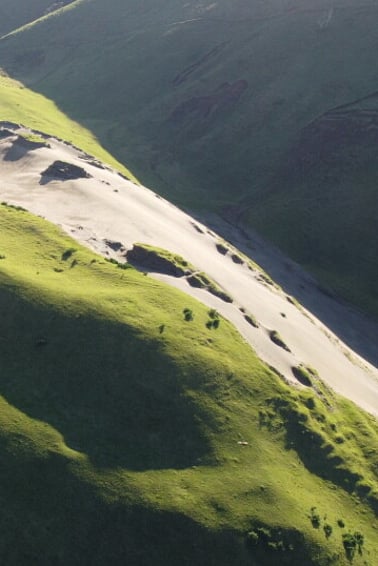
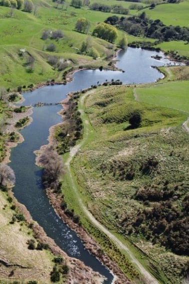
A mapped view of the state of your site, including erosion risk, water pathways and biodiversity opportunities
Stock take of environmental assets and major environmental drivers.
A clear explanation of processes, what is happening and why
4: Action and implementation support
We help move from plan to delivery.
You get:
Practical actions & approaches
Training for staff and community members where required.
Support to seek and attain restoration funding and incentives
Alignment with council programmes and requirements
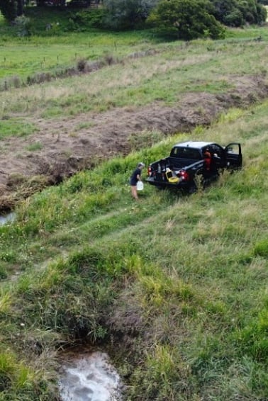
Support with contractors, staging and delivery
Monitoring approaches to track progress over time
2: A prioritised, practical plan that matches your needs
We focus effort where it will make the biggest difference.
You get:
A staged action plan broken into manageable steps
Clear prioritisation of what to do first and what can wait
Site-specific recommendations tailored to land type and use
Cost estimates and implementation timing
5: Tools to scale and manage sites
We can provide implementation plans, recording approaches and tools that help with ongoing implementation.
You get:
Farm or property planning tools
Data capture and reporting systems
Programme-level visibility across multiple properties
Decision support tools to help ongoing, efficient and effective delivery.
3: Design of the right interventions
We ensure the right solution is used in the right place.
You get:
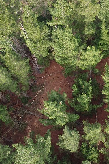
Fit-for-purpose planting plans (wetland, riparian, hill country)
Erosion control solutions (pole planting, stabilisation, sediment control)
Wetland and water management design
Integration with farm systems and land use
6: Monitoring, evaluation and follow up
We ensure your investment delivers results over time, not just at the point of implementation.
You get:
Clear monitoring frameworks tailored to your land and objectives
Baseline and repeatable measurement approaches, including photo points, field assessments and remote sensing where appropriate
Ongoing support to adjust plans, prioritise next steps and maintain momentum